Bergrivier
Bergrivier Local Municipality is one of the new local municipalities participating in Phase 2 of the RSEP Programme. The town of Piketberg and Porterville have been identified for implementation of the RSEP Programme.
Focus Area:
The former showgrounds site
Background:
The former dilapidated showgrounds site in the town acted as a barrier between the higher and lower income areas. The area was also a targeted space for crime. In response to the reconstruction toolkit findings, the RSEP Programme Office drafted a conceptual plan for the Piketberg integration zone.
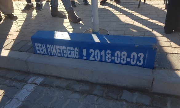
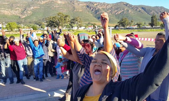
The extension of Calendula Street across the showgrounds was identified in the plan to better integrate and reduce the daily travel distance to the CBD for marginalised neighborhoods. This project marked the coming-together of the two parts of the town and during the project opening a plaque was unveiled proclaiming “Een Piketberg” (“One Piketberg”). The two communities already successfully hosted a long table dinner to celebrate the social cohesion that Calendula Street has brought about. An event which will hopefully be repeated in future.
The road extension has also been a positive catalyst for the planning of a school in the integration zone through a collaboration with the Western Cape Education Department and the Department of Transport and Public Works. The private sector, through the cement factory (PPC has also committed to co-fund the construction of a youth centre, located north of the new school site.
Other projects include the construction of an outdoor gym and a three-storey active box to serve as a ‘safety beacon’ for surveillance in the area.
Featured Project:
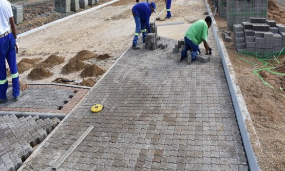
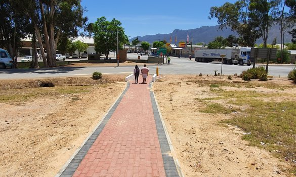
The extension of Calendula Street was opened in 2018 and included the construction of a road, pedestrian walkways, parking, lighting, benches and a small play park.
Focus area:
The neighbourhood of Monte Bertha
Background:
Porterville’s spatial form strongly reflects the history of apartheid planning because the Monte Bertha neighbourhood is spatially segregated from the town’s CBD. Large tracts of vacant land are located within the town’s integration zone. Due to a lack of public transport, residents in the low income neighbourhood travel on foot to the town’s CBD through poor conditions, with no pedestrian walkways, lighting or ablution facilities.
In Porterville, due to the lessons learned in Piketberg, the reconstruction framework method was already applied by the consultants who revised the Bergrivier Spatial Development Framework (SDF). An integration zone was identified, which consisted of a prominent pedestrian route between marginalized areas in the south to the higher income areas and CBD in the north. The projects (currently under way) comply and are aligned with the SDF proposals.
Featured project:
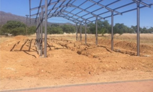
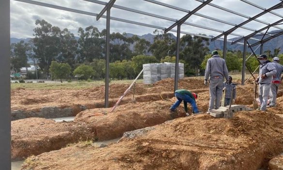
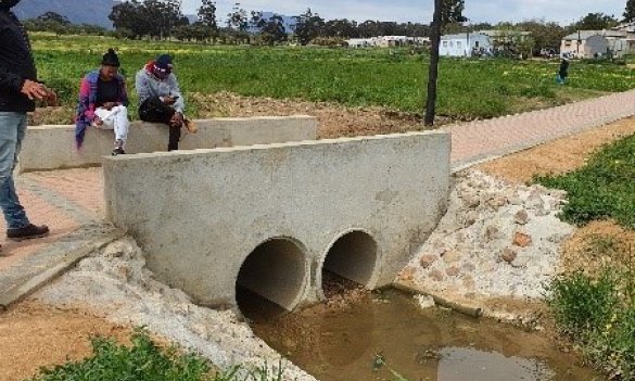
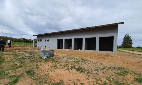
The walkway from Monte Bertha to Porterville CBD together with ablution facilities, trading stalls and upgrading of Spruitjie Park will be completed in 2020.


